
Dr Badal Pokharel
Faculty: Engineering
Fields of Research (FoR): Natural hazards, Geospatial information systems and geospatial data modelling, Photogrammetry and remote sensing
SEO tags:
Keywords:
Faculty: Engineering
Fields of Research (FoR): Natural hazards, Geospatial information systems and geospatial data modelling, Photogrammetry and remote sensing
SEO tags:
Keywords:
Dr Badal Pokharel is a former Research Associate at the Research Centre for Integrated Transport Innovation (rCITI), School of Civil and Environmental Engineer
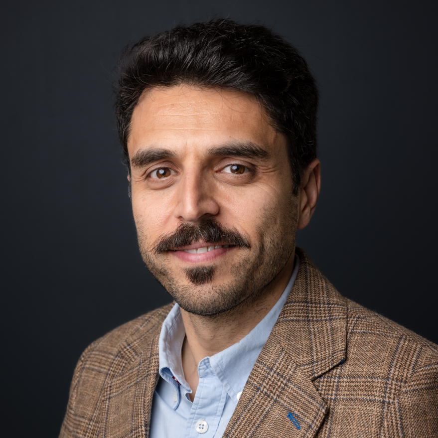
Associate Professor Mohsen Kalantari
Faculty: Engineering
Fields of Research (FoR): Geomatic engineering, Building information modelling and management, Construction engineering, Astrodynamics and space situational awareness, Surveying (incl. hydrographic surveying), Geospatial information systems and geospatial data modelling, Geomatic engineering not elsewhere classified
SEO tags:
Keywords:
Mohsen Kalantari is an Associate Professor of Geospatial Engineering, Deputy Head (Education) in the School of Civil and Environmental Engineering, and Co-Founder of

Associate Professor Samsung Lim
Faculty: Engineering
Fields of Research (FoR): Geospatial information systems and geospatial data modelling, Photogrammetry and remote sensing, Physical geography and environmental geoscience not elsewhere classified, Geomatic engineering not elsewhere classified
SEO tags:
Keywords:
Faculty: Engineering
Fields of Research (FoR): Geospatial information systems and geospatial data modelling, Photogrammetry and remote sensing, Physical geography and environmental geoscience not elsewhere classified, Geomatic engineering not elsewhere classified
SEO tags:
Keywords:
Associate Professor in the School of Civil and Environmental Engineering
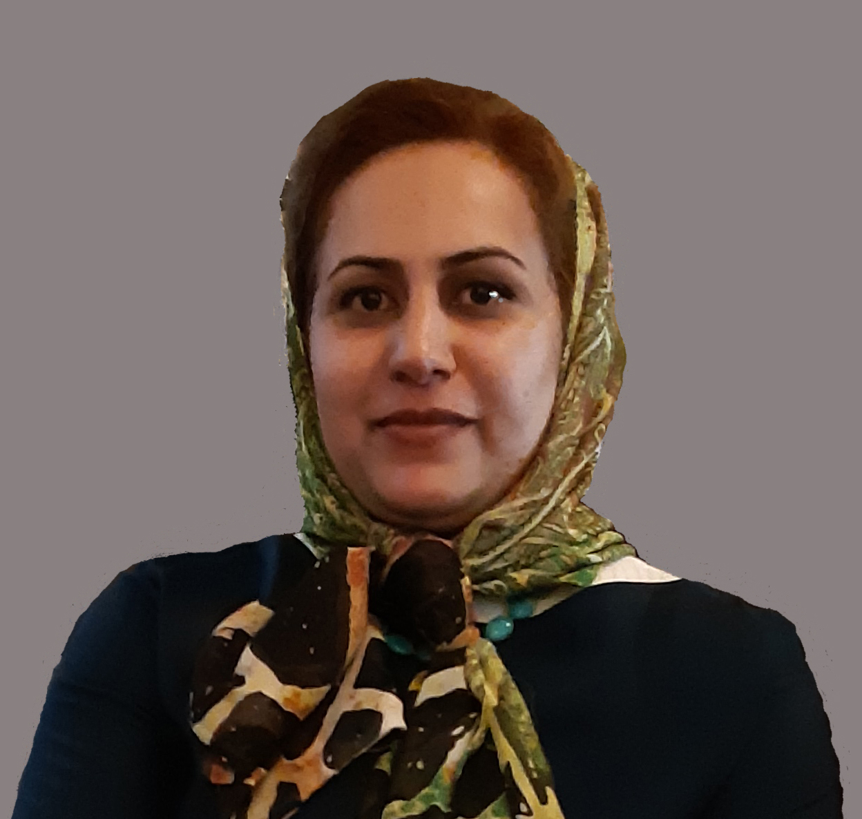
Dr Sara Shirowzhan
Faculty: Arts, Design & Architecture
Fields of Research (FoR): Information systems for sustainable development and the public good, Building information modelling and management, Geospatial information systems and geospatial data modelling, Automation and technology in building and construction, Urban informatics, Machine learning, Deep learning, Artificial intelligence, Disaster and emergency management, Housing markets, development and management
Keywords:
Dr Sara Shirowzhan is a senior lectur
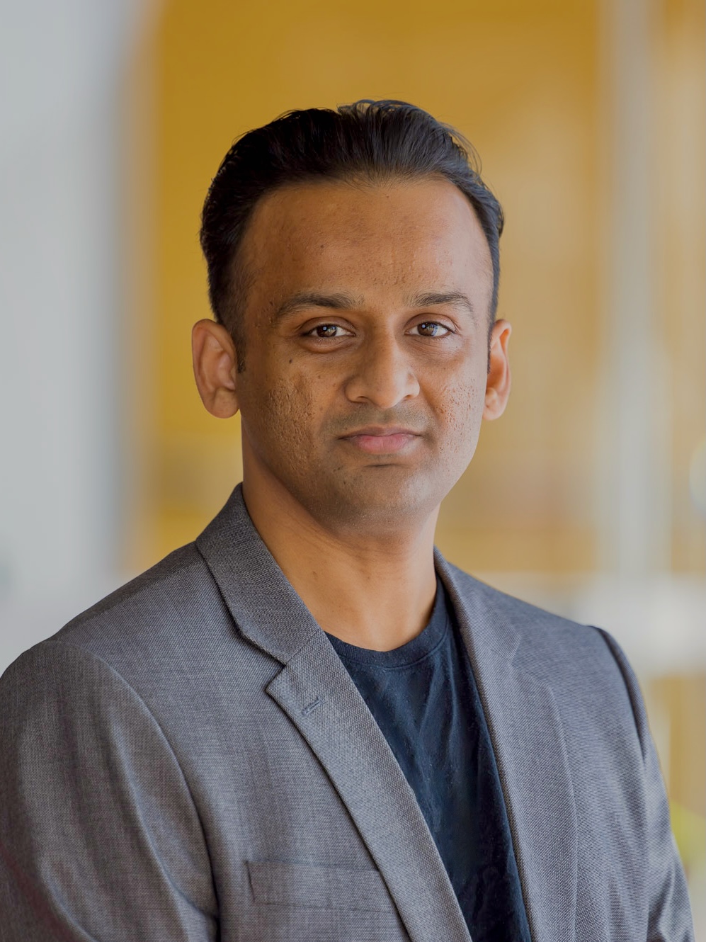
Dr Balamurugan Soundararaj
Faculty: Arts, Design & Architecture
Fields of Research (FoR): Urban and regional planning, Geoscience data visualisation, Geospatial information systems and geospatial data modelling, Spatial data and applications, Spatial statistics, Cartography and digital mapping, Human geography, Information visualisation
Dr Balamurugan Soundararaj is a Research Fellow at City Futures Research Centre.
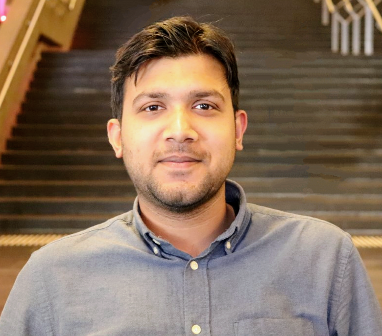
Dr Abhirup Dikshit
Faculty: Science
Fields of Research (FoR): Geospatial information systems and geospatial data modelling, Natural hazards, Ecohydrology, Time series and spatial modelling
SEO tags:
Faculty: Science
Fields of Research (FoR): Geospatial information systems and geospatial data modelling, Natural hazards, Ecohydrology, Time series and spatial modelling
SEO tags:
Abhirup Dikshit is a geospatial ecohydrologist using advanced remote sensing tools and machine learning models to monitor vegetation health and function in the face of cl
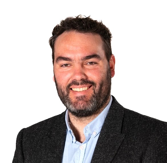
Dr Thomas Oliver
Faculty: UNSW Canberra
Fields of Research (FoR): Physical geography and environmental geoscience, Geomorphology and earth surface processes, Natural hazards, Geochronology, Geophysics, Geospatial information systems and geospatial data modelling, Photogrammetry and remote sensing
SEO tags:
Keywords:
Dr Thomas Oliver studied at the University of Wollongong and completed Bachelor of Marine Science Advanced Honours (Class 1) supervised by Dr Kerrylee Rogers and Prof.

Dr Mohammad Taleai
Faculty: Arts, Design & Architecture
Fields of Research (FoR): Geospatial information systems and geospatial data modelling, Urban informatics, Deep learning, Geoscience data visualisation, Urban geography, Geoinformatics
Faculty: Arts, Design & Architecture
Fields of Research (FoR): Geospatial information systems and geospatial data modelling, Urban informatics, Deep learning, Geoscience data visualisation, Urban geography, Geoinformatics
Dr.